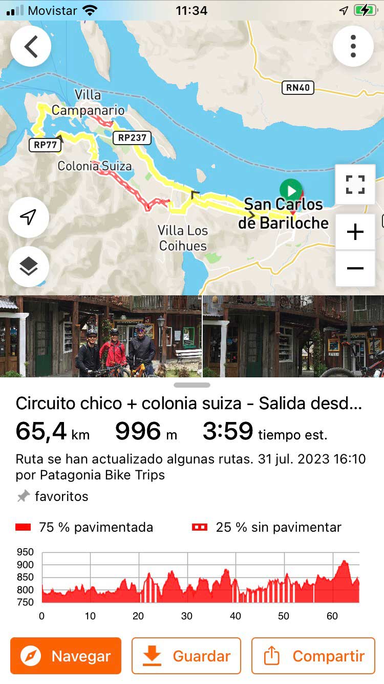
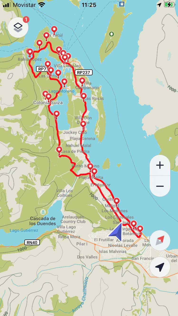
These are the best 2 apps and the only ones you will need to succeed on a cycling trip.
Download the applications, view the route and plan your trip.
Both apps work offline. They do not need an internet connection.
GPS NAVIGATION AND MAP APPS

Ride with GPS
Navigate in real time, with altimetry information, suggested stops, campsites, supply points and much more. You don’t need an internet connection. All our routes are preloaded in the app. You can also download the routes and upload them to your GPS
SEE PATAGONIA BIKE TRIPS IN THE APP
- Supports .GPX files
- It has a free subscription option for 30 days.
- Very easy to use interface.
- It works without an internet connection.
How to view and navigate a route in Ride with GPS
- Download the Ride with GPS application on your cell phone.
- Go to the app’s search engine and type Patagonia Bike Trips or the name of the route you are looking for
- You can also click on the link below to see our profile and routes
- Once the route has been chosen, select the SAVE option
- Click DOWNLOAD FOR OFFLINE USE
- The route is now available in your profile for offline navigation


Maps.me
Maps.me works without an internet connection and has a very complete database of trails, footpaths and roads. It also shows your GPS position in real time wherever you are. It supports files in .KML format. It is a BASIC application, but efficient and 100% free.
- The loaded route appears in red
- The main paved roads appear in orange.
- Secondary or gravel roads are seen in white.
- The trails, and footpaths in dotted black.
- The blue arrow indicates your position and orientation.
How to upload a route to Maps.me
- Install the maps.me application on your cell phone.
- Enter the app. Zoom in on Bariloche. The application will download the map of the area automatically.
- Download the route in .KML format from the links provided
- Go to FILES/DOWNLOADS on your phone. Select the file and then OPEN WITH maps.me
- You can now see the route in the app


