BARILOCHE TO ESQUEL BY ALERCES NATIONAL PARK
BARILOCHE TO ESQUEL BY ALERCES NATIONAL PARK
Distance:

348,1 Km
Estimated time:
 7 Dias
Difficulty:
 2
2
HOW TO RATE THE DIFFICULTY OF A ROUTE OR A BICYCLE CIRCUIT?
TECHNICAL DIFFICULTY:
1- Very easy: A very easy circuit, it is suitable for people who can pedal a bike on flat asphalt roads and then stop without stumbling. You must have basic notions of braking and shifting gears. You must have sufficient balance to ride the bike in a straight line without making sudden involuntary maneuvers to the sides.
2- Easy: to pedal on an easy circuit you need to have fluid shifting management that allows you to climb an asphalt slope or pedal on a flat surface without making greater effort, optimizing the energy of your legs at all times. You must also know how to differentiate and use both brakes correctly, the front and the rear.
3- Intermediate: to pedal a circuit of intermediate difficulty, you must master the skills mentioned above, both on asphalt and gravel roads and on low difficulty trails. You must also have an understanding of the correct body position on different terrains and braking precision on slippery terrain and on descents. It is important that you skillfully handle the gear change, both the plates and the sprockets.
4- Difficult: a difficult circuit is suitable for experienced cyclists who know how to pedal on uneven terrain with obstacles, climbs, descents and adverse conditions, such as mud, sand or stones. The cyclist must have good control and mastery of the bicycle at all times, optimizing performance through precise use of gears. It is also necessary to understand how to take advantage of the acceleration of descents to successfully overcome dirt climbs and obstacles such as logs or loose rock.
5- Expert: to master an expert level circuit, it is necessary to train regularly and have physical strength. The pilot must be able to perform jumps and maneuvers at high speed without losing control at any time. It is necessary to master all pedaling, turning and braking techniques on narrow trails with steep slopes of more than 30%, and know how to avoid obstacles such as steps, rocks, roots and slippery ground with mud or dust.
PHYSICAL DIFFICULTY:
We cannot assess the physical difficulty of a bike route since it strictly depends on the level of training that each person has. As a reference we can say that 35 kilometers by bike is approximately equivalent to 1 kilometer on foot. Circuits with many meters of ascent and gravel ground are more demanding from a physical point of view. In conclusion, we can affirm that a person with average training accustomed to being active can, in general, pedal a distance of 35 to 45 kilometers without major inconvenience, in a period of 4 to 5 hours including rest stops.
If you opt for an e-bike, the physical effort decreases considerably, up to 60% less depending on your driving and pedaling skills.
Unevenness:

4.175 mts
Asphalt:
 71 %
71 %
Gravel:
 29 %
29 %
For Ebikes:
 si
si
This journey of 7 to 8 days and 350 kilometers, runs along national route 40 (asphalt) and provincial route 71 (gravel) from north to south, departing from Bariloche, passing through El Bolsón and Los Alerces national park to finish in Esquel city.
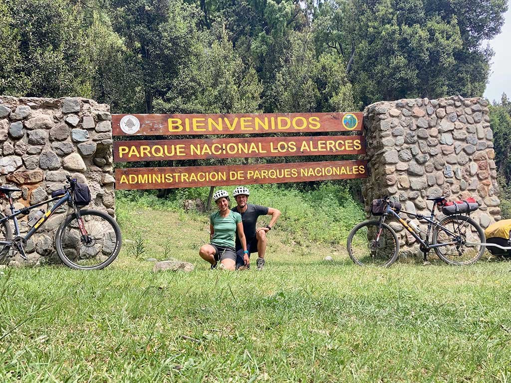
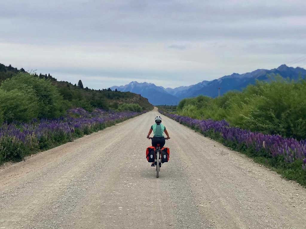
The first part of the route along route 40, from Bariloche to El Bolsón, is paved and fast, since you will have mostly negative slopes for several kilometers. South of Bolsón you can take a detour to visit Lago Puelo. Then pass through the towns of El Hoyo and Epuyén. There begins the provincial route 71 that runs through Los Alerces National Park. This route is mostly gravel and is undoubtedly the most outstanding part of this journey.
This trip can be completed by stopping at campsites, at hostels or alternating between the two. It is possible to start in El Bolson if you wish (more information in page 37).
Download the route to see points of interest, distance and lodging.
Sugested stops:
Day 1 – Bariloche to Villa Mascardi
Day 2– Villa Mascardi to El Foyel
Day 3 – El Foyel to El Bolson
Day 4 – El Bolson to Epuyen
Day 5 – Epuyen to Villa lago Rivadavia ||
Day 6 – Villa lago Rivadavia to Villa Futalaufquen
You can drop off the bikes in Esquel once you get there.
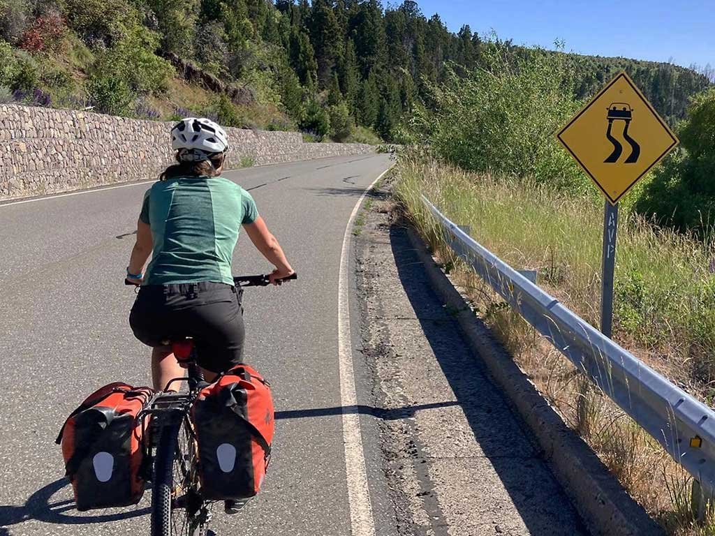
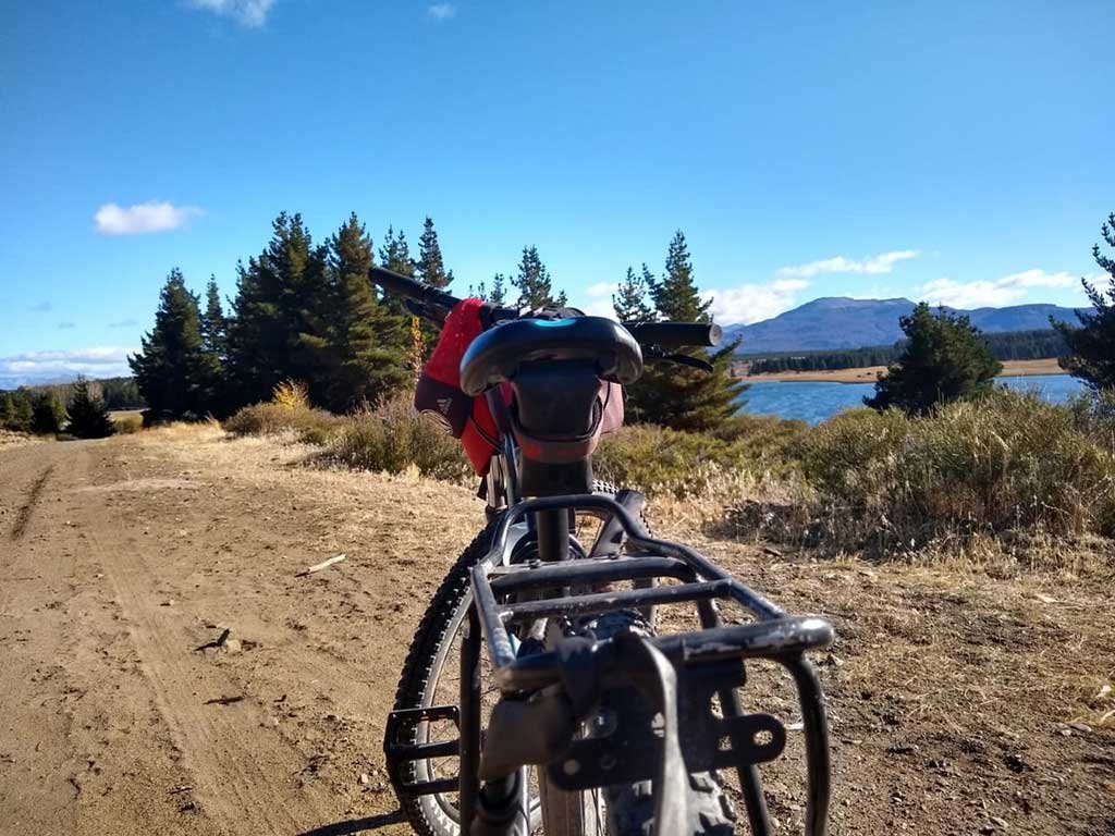
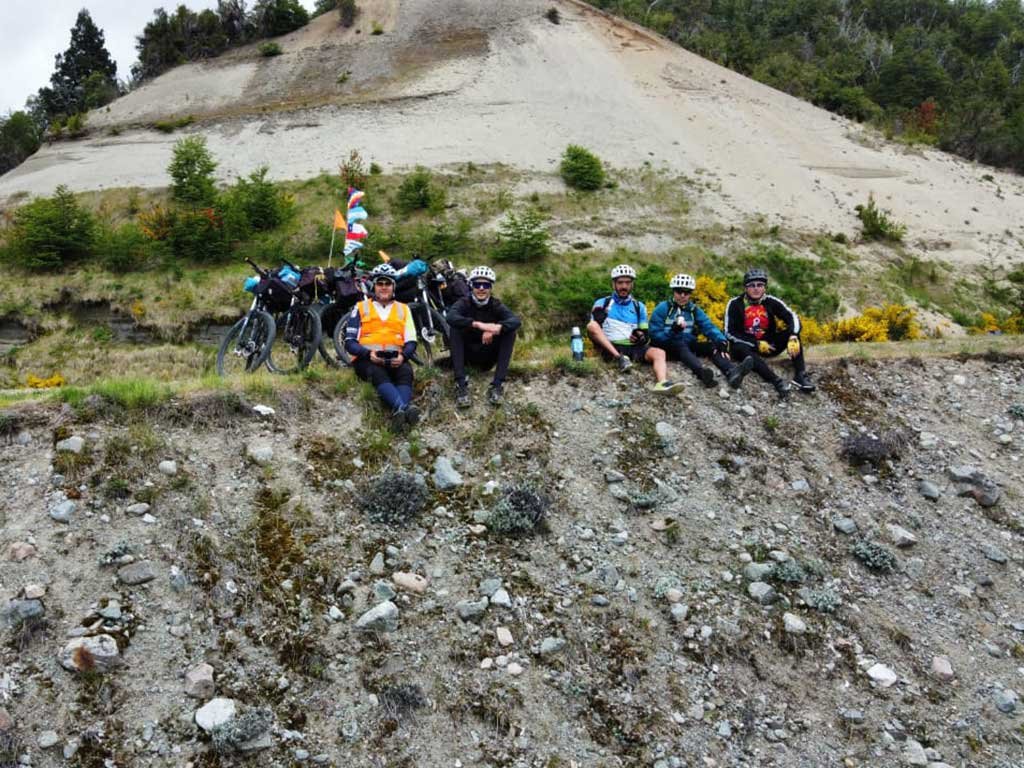
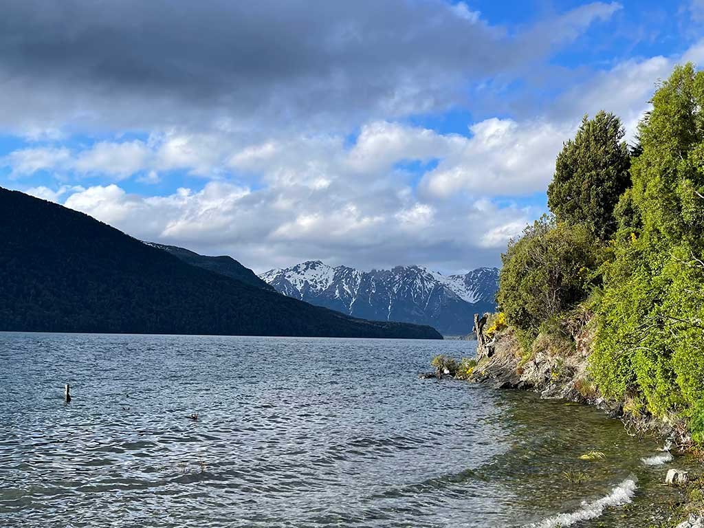
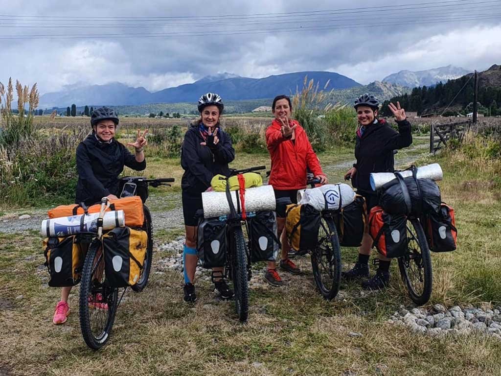
PHOTO GALLERY


MAPS AND GPS
To view the route on your cell phone, you must first download Maps.me application from GPS APPLICATIONS. Then download the route in .KML format with DOWNLOAD ROUTE button and open it with the application. You will be able to see the route and your relative position without data connection anytime, anywhere.